|
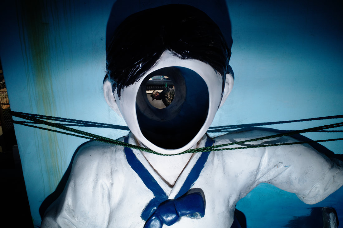
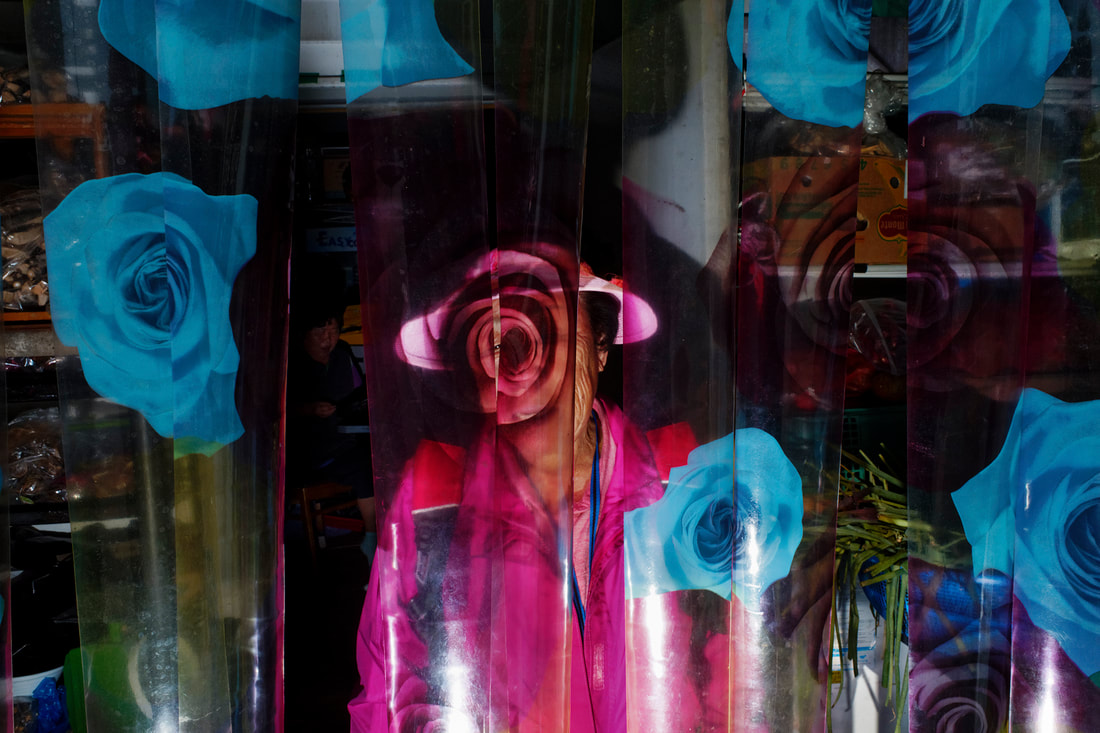
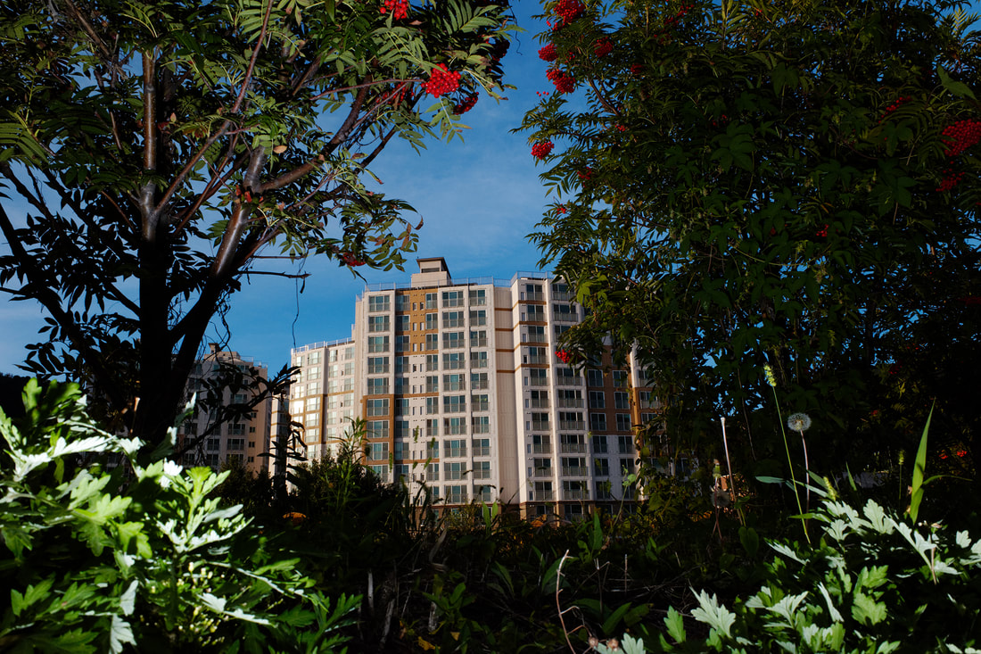
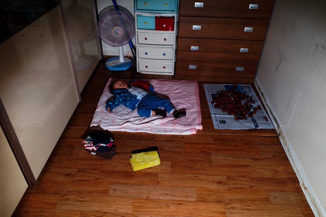
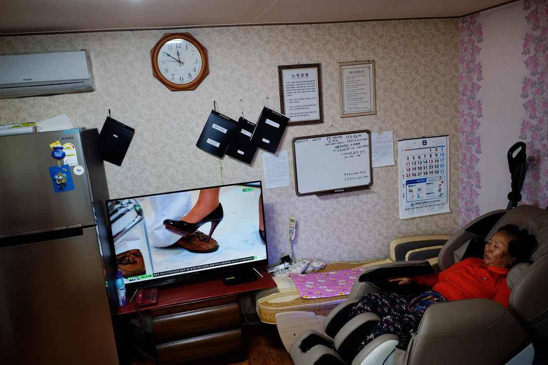
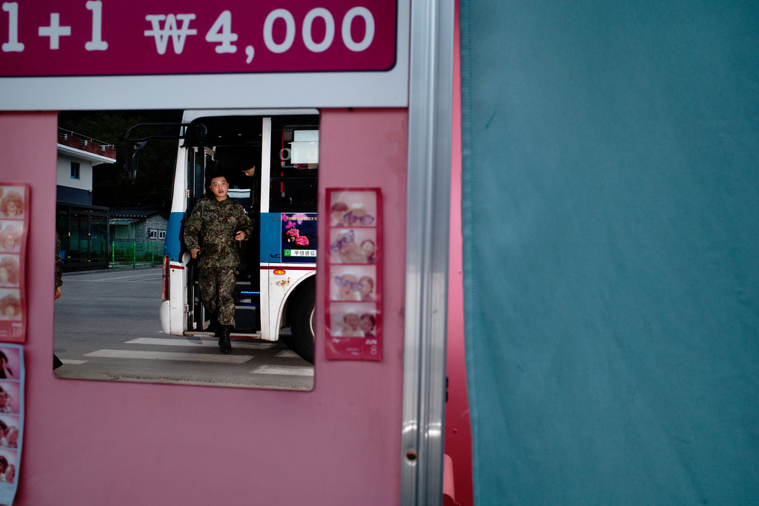
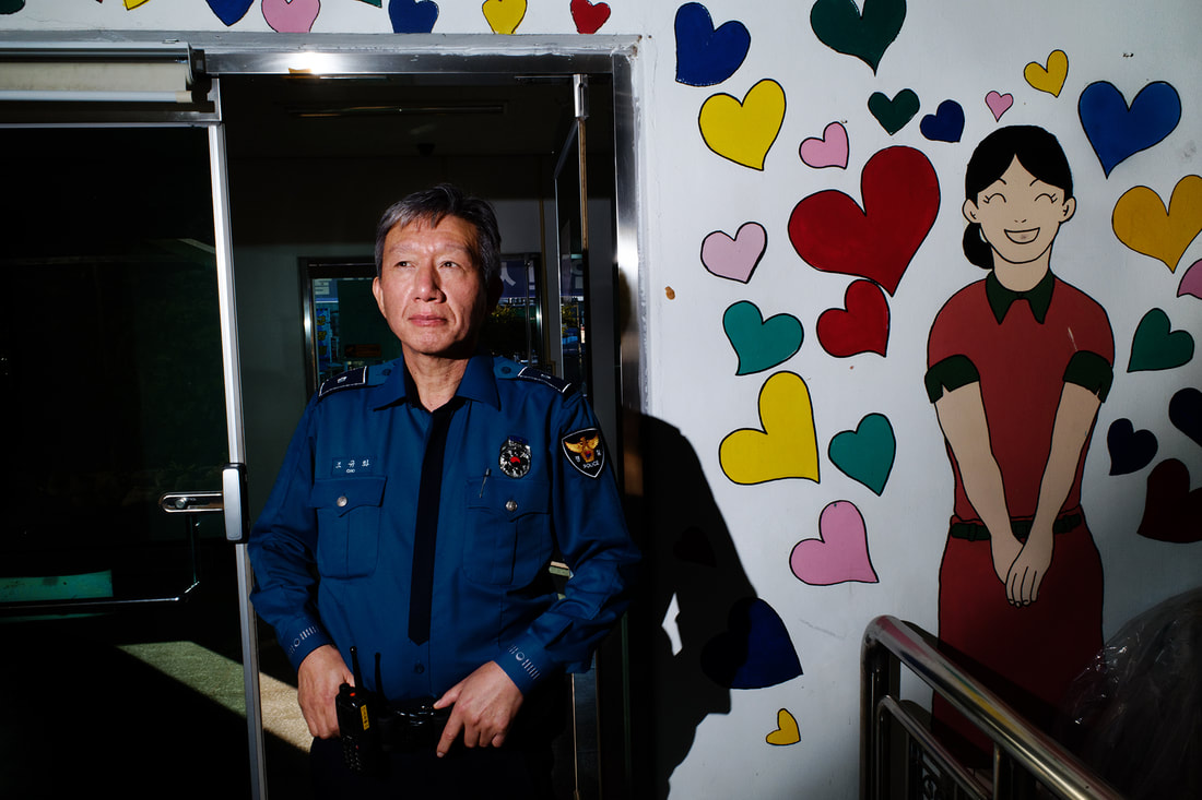
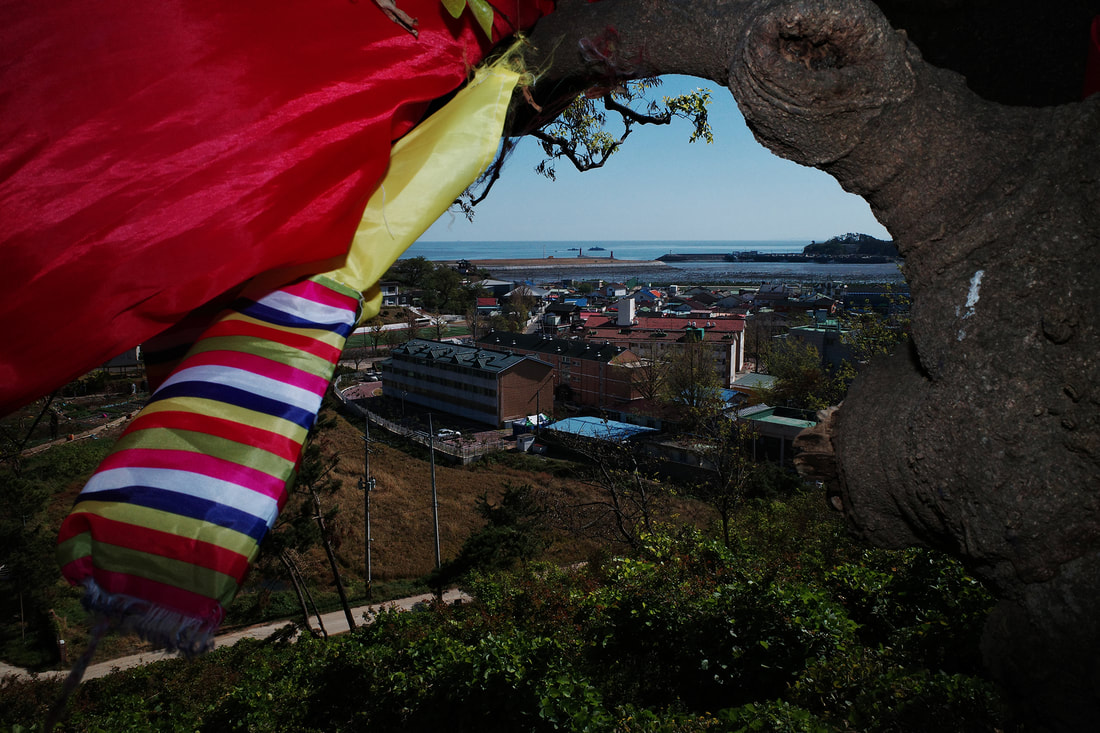
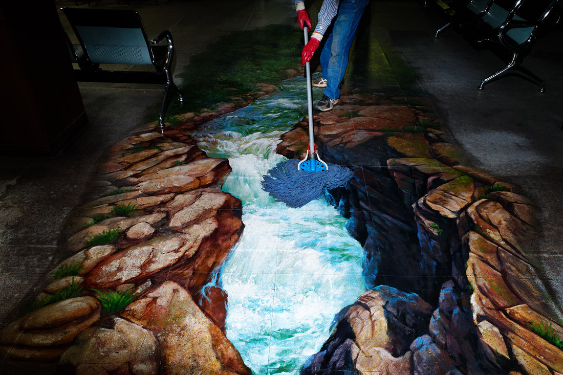
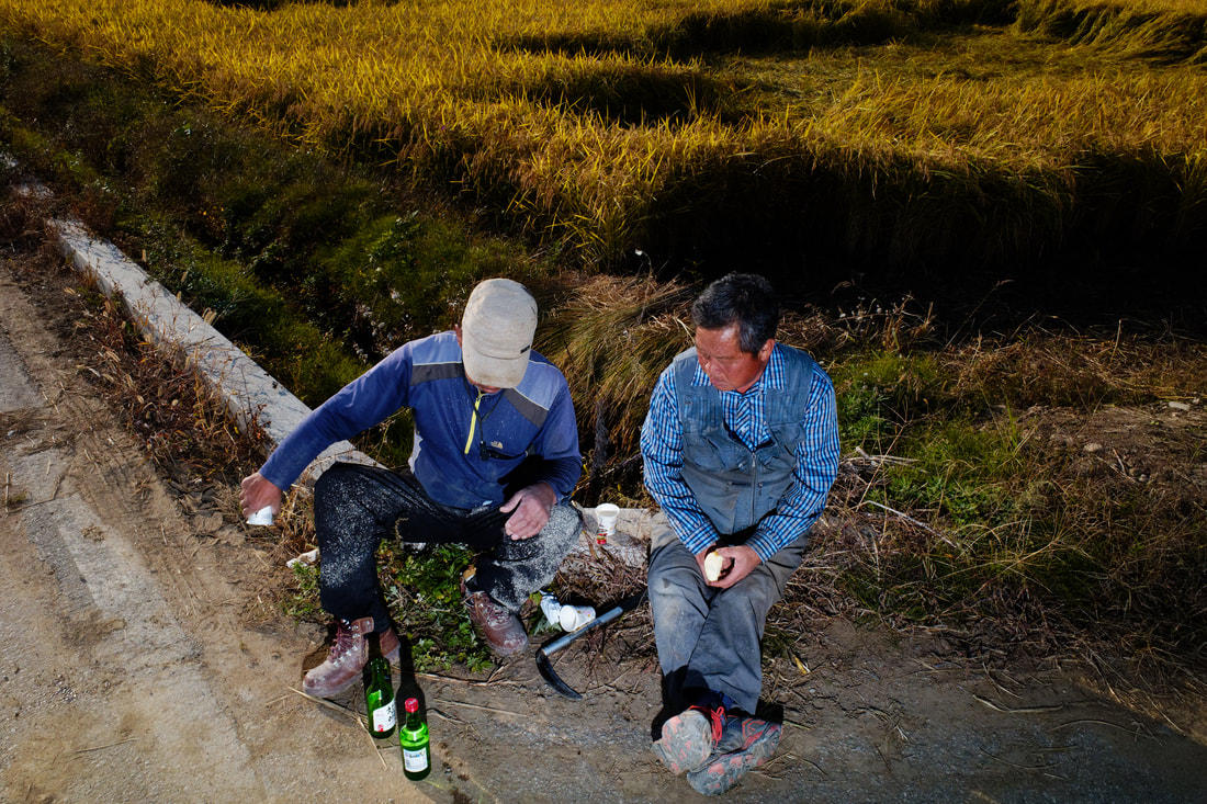
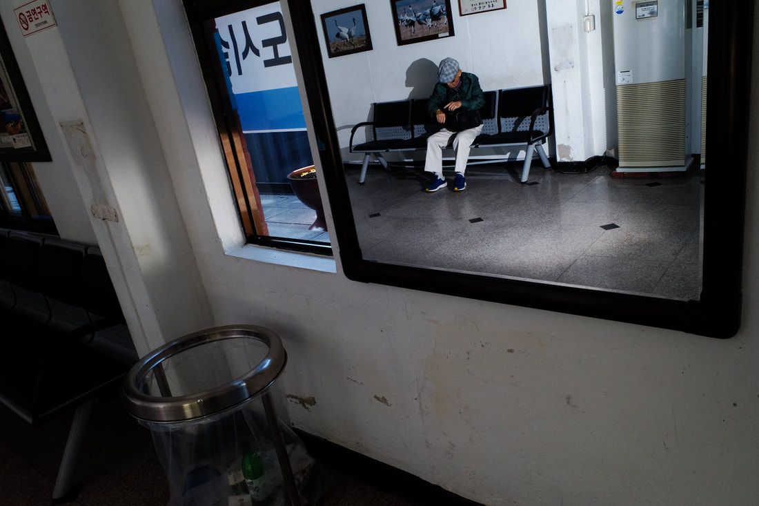
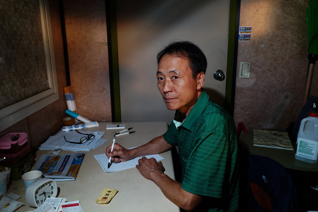
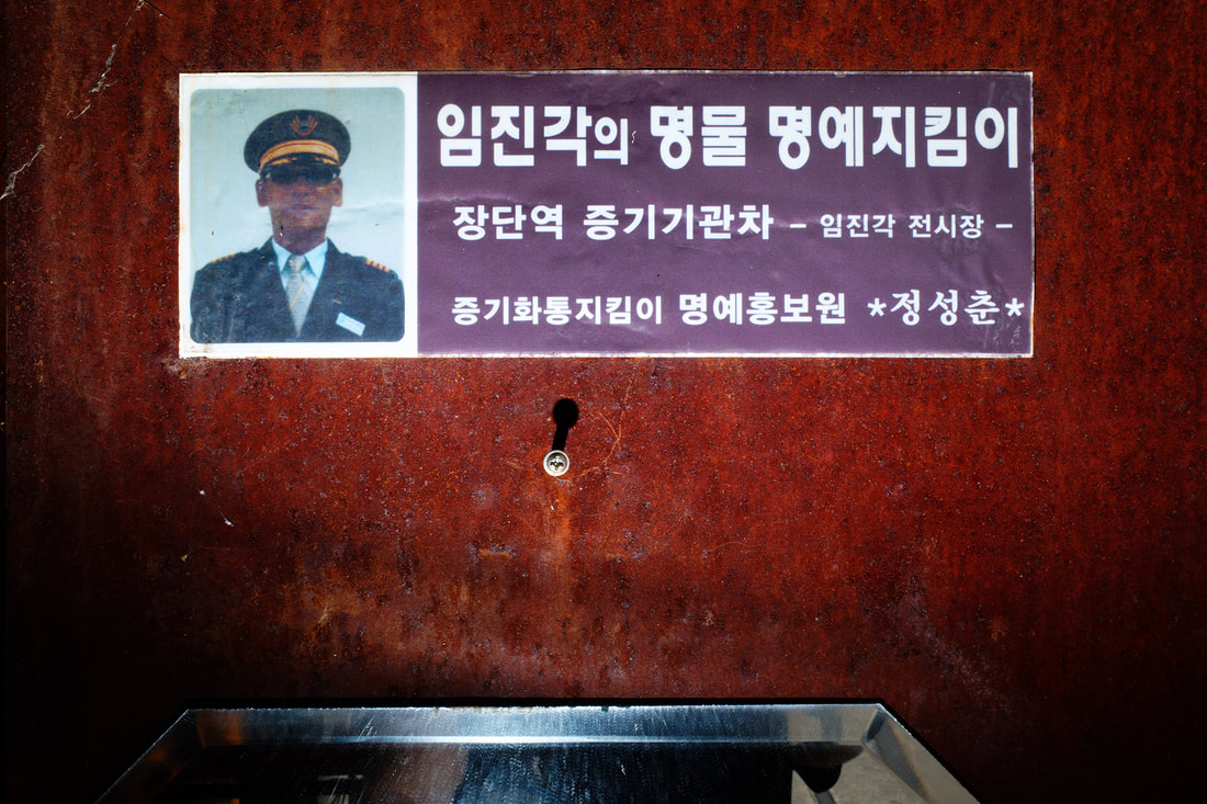
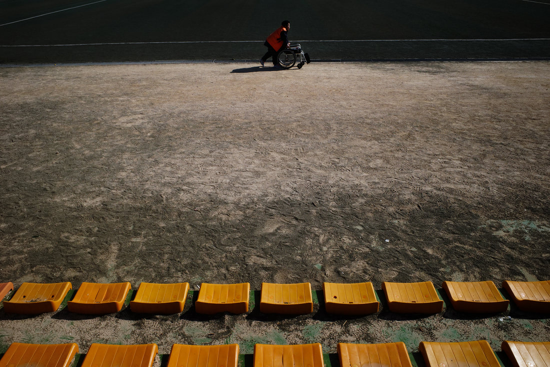
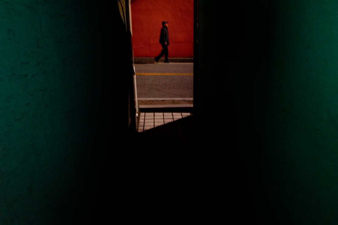
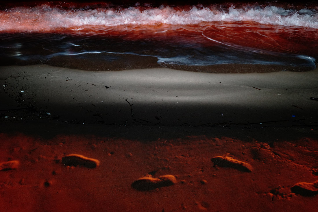
"How to Draw a Line" explores the border towns directly south of the DMZ. As a biracial Korean-American and as someone who has lived in one of these towns in the past, I felt a personal connection to this space caught between two worlds — where military camps, secluded villages, and tourist attractions all coexist while separating the North and South still officially at war.
My memories guided and motivated me to revisit this area. During the Fall of 2019, I trekked multiple times between the northeast and northwest coasts of South Korea. While the routes can be drawn as literal lines on a map, the images draw a conceptual "photographic line" that traces the overall journey. Throughout these travels, I witnessed a liminal existence: subdued yet expressive, in spaces simultaneously active and still. The camera captures the subtle surreality of these isolated areas, offering an unexpected yet often overlooked view into Korean life. |
《선을 그리는 방법》은 비무장지대 바로 남쪽의 국경 마을들을 탐험합니다. 혼혈 한국계 미국인으로서, 그리고 과거에 이런 마을에서 산 적이 있는 사람으로서, 저는 여전히 전쟁 중인 남북을 갈라놓으면서 군부대, 외딴 마을, 그리고 관광지가 공존하는 두 세계 사이에 낀 이 공간에 대한 개인적인 유대감을 느낍니다.
제 기억들이 이 곳을 다시 방문하게 이끌고 동기를 부여해줬습니다. 2019년 가을에 저는 한국의 북동쪽 해안에서 북서쪽 해안까지 여러 번 여행했습니다. 경로는 말 그대로 지도에 선으로 그릴 수 있지만 이미지들은 전체 여정을 따라가는 개념적인 “사진의 선”을 그립니다. 이런 여정들 동안 저는 문턱에 걸려있는 존재를 목격했습니다: 동시에 활동적이고 고용한 공간에 있는 차분하면서 표현력이 넘치는 존재. 카메라는 이 고립된 지역의 미묘한 초현실성을 포착하여 한국인들의 삶 대한 예상치 못한, 그러나 종종 간과되는 시각을 제공합니다. |
|
Additional Information:
"How to Draw a Line" presents the liminal spaces south of the DMZ as a means to build a greater understanding of South Korea. Photographed by a Korean-American, this document is a record of life before the eventual reunification of the two Koreas. As a long-term, ongoing project, I will create candid photographs and also map these unique areas to share what the world loses without a peaceful transition. The Fall 2019 journey for “How To Draw A Line" was self-funded, but the project was paused due to resources challenged by the global pandemic. In the future, I will continue to document the remaining seasons — Winter, Spring, and Summer — with the goal being to present a “conceptual year”. As the seasons change, so will the lives of people and the landscapes they call home. An authentic portrayal of these communities will help disrupt the stereotyped war zone stigma many people outside of South Korea hold. My goal is to create 100-120 prints that will be connected by the passage of time and by the act of passing through these secluded areas. Ultimately, I plan to exhibit in galleries and through presentations in the cities and towns represented. By doing so the images will be returned to the people and places where they were born. I will also create booklets of the final project that can be distributed to community centers and local libraries as a gift. These booklets will contain a map with each photograph’s GPS location. Using the camera’s GPS travel data as a means of mark-making, the lines delineated on the map offer us the idea that we “draw lines” through our everyday movements and throughout our entire lives. And in such historic regions of Korea, it also presents the question: How many lines ended here during the war? The lives we live are the lines we draw. With this concept in mind, I can present the DMZ in a new way and create a candid record of a place that I once considered home. Upon project completion, all photographic materials will be further accessible outside of South Korea via online or international gallery exhibitions. As a Korean-American, I feel my purpose in life is to bridge the cultures I am from. Unification between North and South Korea is inevitable; it is up to the international community to support a unification that comes from a peaceful transition rather than from violent military actions. Should that day come, this documentary will be a useful aid supporting humanitarian dialogue, and will also act as a permanent record of a way of life that may be destroyed. |
추가 정보:
《선을 그리는 방법》은 비무장지대 남쪽에 문턱에 걸려있는 지역을 한국에 대한 이해를 높이는 수단으로 제시한다. 한국계 미국인이 촬영한 이 문서는 남북의 궁극적인 통일 이전의 삶에 대한 기록이다. 현재 진행 중인 장기 프로젝트로서 나는 솔직한 사진들을 촬영하고 이 독특한 지역들을 지도화해서 평화로운 전환 없이 세계가 잃게될 것들을 공유할 것이다. 《선을 그리는 방법》의 2019년 가을 여행은 자본으로 진행되었지만 글로벌 팬대믹으로 어려움을 겪어 프로젝트가 잠시 중단됐다. 향후에 나는 나머지 계절들인 겨울, 봄, 여름을 계속 기록하면서 “개념적인 년”을 제시하는 것을 목표로 할 것이다. 계절이 바뀌면서 사람들의 일상과 그들이 집이라고 부르는 풍경도 바뀔 것이다. 이러한 공동체에 대한 진정한 묘사는 한국 밖의 많은 사람들이 가지고 있는 전쟁 지역에 대한 고정관념을 깨는 데 도움이 될 것이다. 세월의 지남과 이런 한적한 지역을 지나는 행위로 연결된 100~120개의 작품을 만드는 것이 내 목표다. 궁극적으로 나는 갤러리와 작품에 담겨져 있는 도시와 마을들에 제출함으로써 전시할 계획이다. 그렇게 하여 사진들은 그들이 태어난 사람들과 장소들로 되돌아갈 것이다. 주민센터와 지역도서관에 선물로 나눠 줄 수있기 위해 최종 프로젝트의 책자도 만들 것이다. 이런 책자에는 각 사진의 GPS 위치가 있는 지도가 포함될 것이다. 카메라의 GPS 여행 데이터를 표시 수단으로 사용하여 지도에 그려진 선은 우리가 일상에 움직임과 평생 동안 “선을 그린다”라는 생각을 제공해준다. 그리고 이런 한국의 역사적인 지역에서는 다음과 같은 질문도 제시한다: 몇 개의 줄들이 전쟁 동안 여기서 끊어졌을까? 우리가 사는 삶은 우리가 그리는 줄과 같다. 이런 개념을 염두에 두면 새로운 방식으로 비무장지대를 나타내고 내가 한때 고향으로 여겼던 곳에 대한 솔직한 기록을 만들 수 있다. 프로젝트가 완성되면 모든 사진 자료는 온라인 또는 국제 갤러리 전시회를 통해 한국 밖에서 더 쉽게 접근할 수 있게 된다. 한국계 미국인으로서 나는 내 삶의 목적이 내가 온 문화들을 이어주는 것이라고 생각한다. 나는 남북한이 언젠가는 꼭 통일이 이루어질 거라고 믿는다; 폭력적인 군사 행동이 아닌 평화적인 전환에서 오는 통일을 지지하는 것은 국제사회에 달려있다. 그런 날이 온다면 이 문서는 인도주의적인 대화를 뒷받침하는 유용한 보조물이 될 것이며 파괴될지도 모르는 삶의 방식에 대한 영구적인 기록의 역할도 할 것이다. |
|
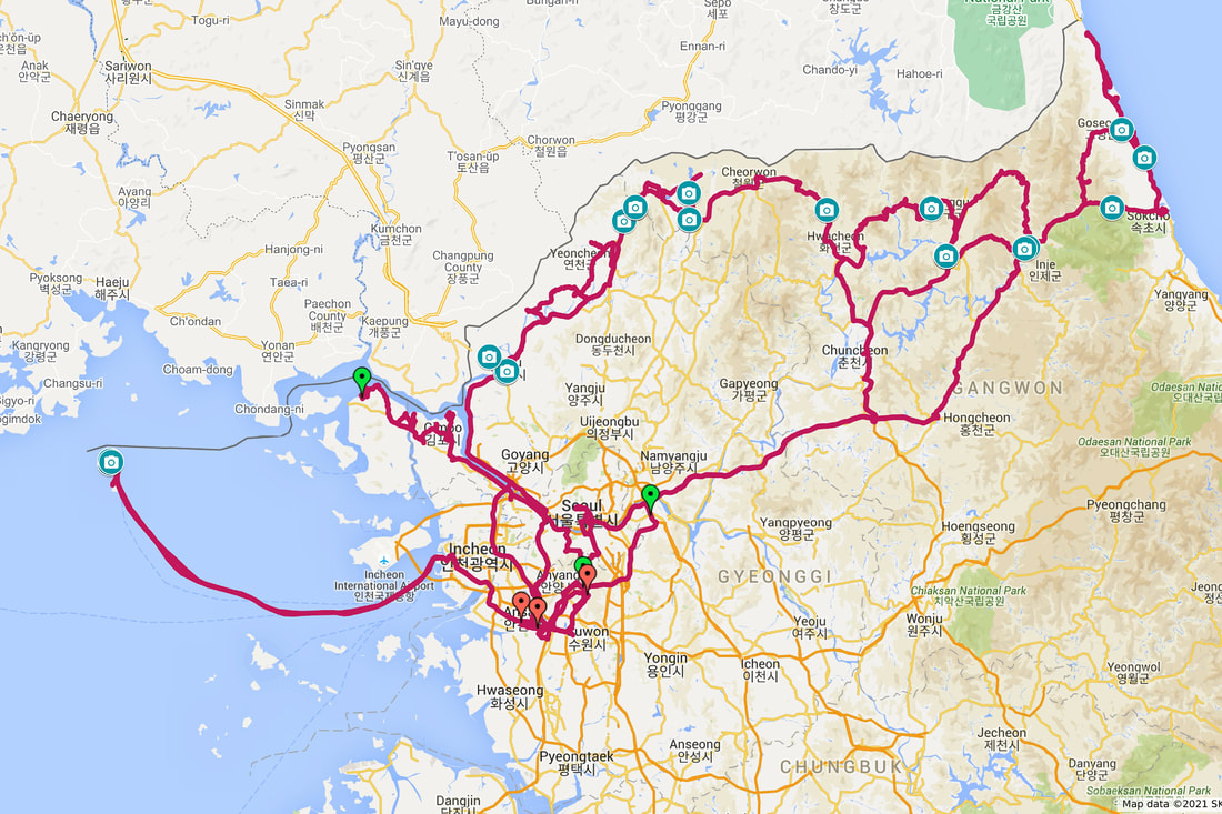
This map displays the GPS travel data collected thus far for "How to Draw a Line". Green pins represent different starting points and red pins are stopping points created by automobile travel. Pinned camera icons represent points or cluster areas where photographs were shot.
|
옆 지도는 현재까지 수집된 《선을 그리는 방법》의 GPS 데이터를 보여준다. 초록색 핀은 각 출발점들을 나타내고 빨간색 핀은 자동차 여행으로 만들어진 정지점을 나타낸다. 고정된 카메라 아이콘은 사진이 촬영된 지점, 또는 클러스터 지역을 나타낸다.
|
