|
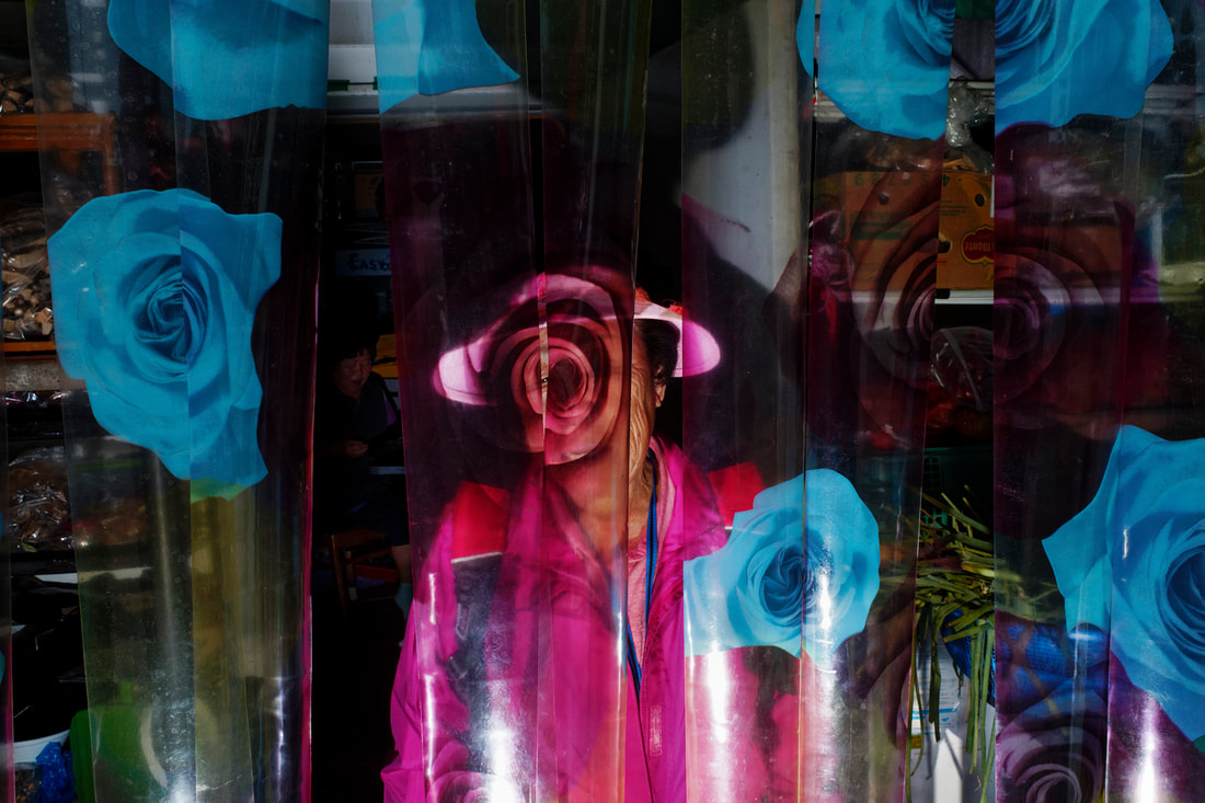
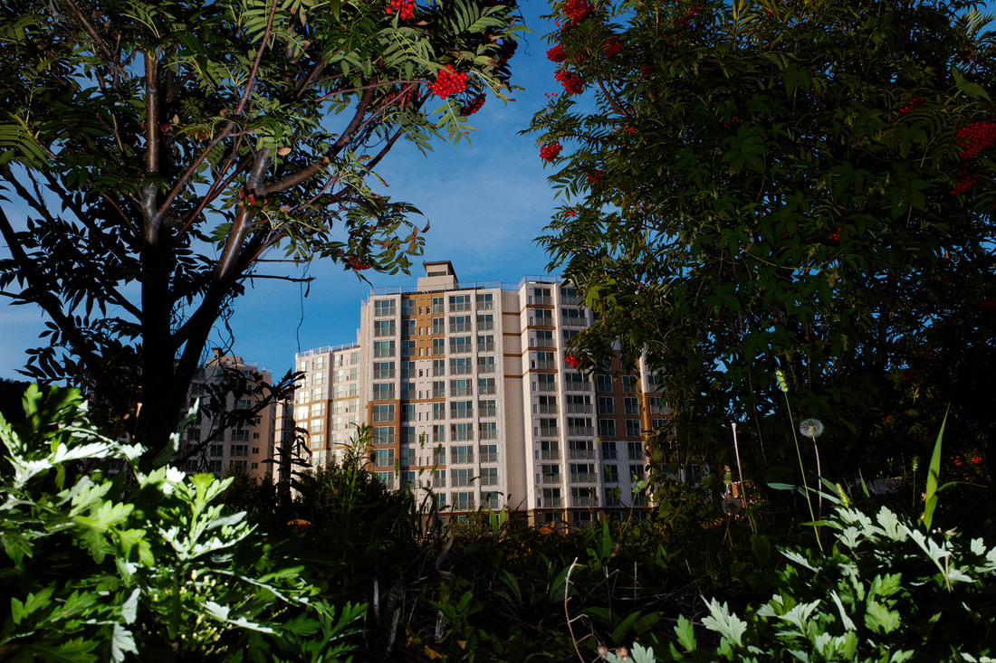
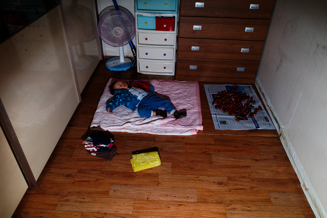
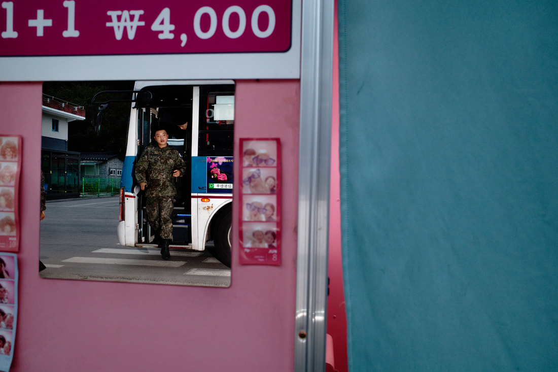
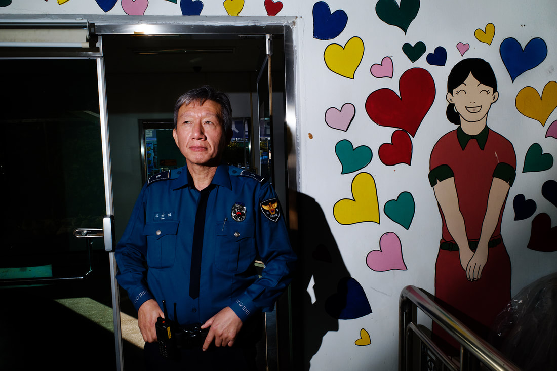
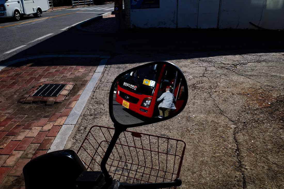
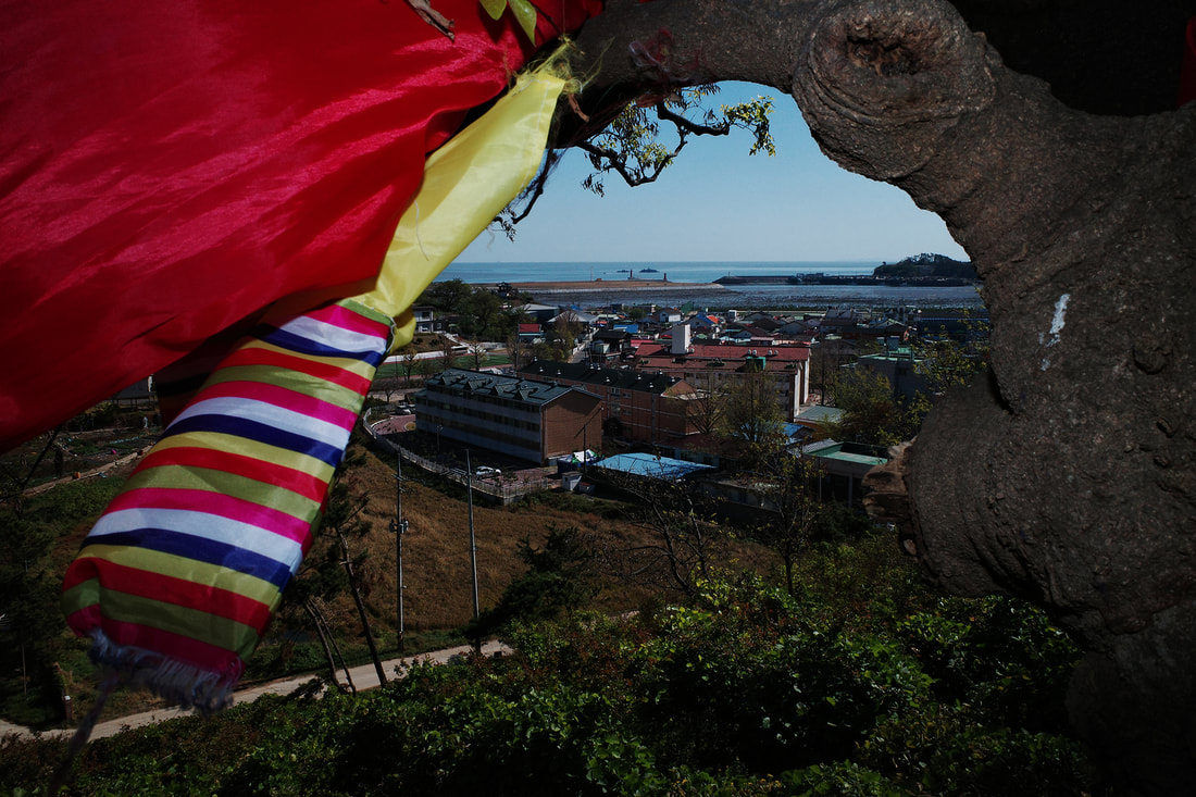
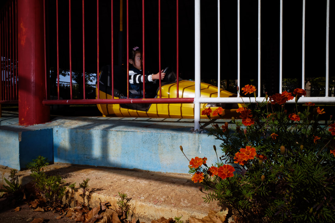
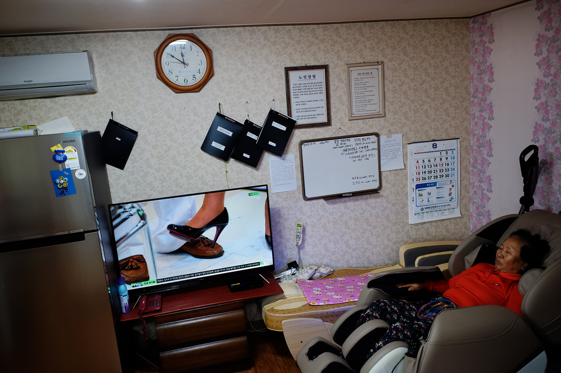
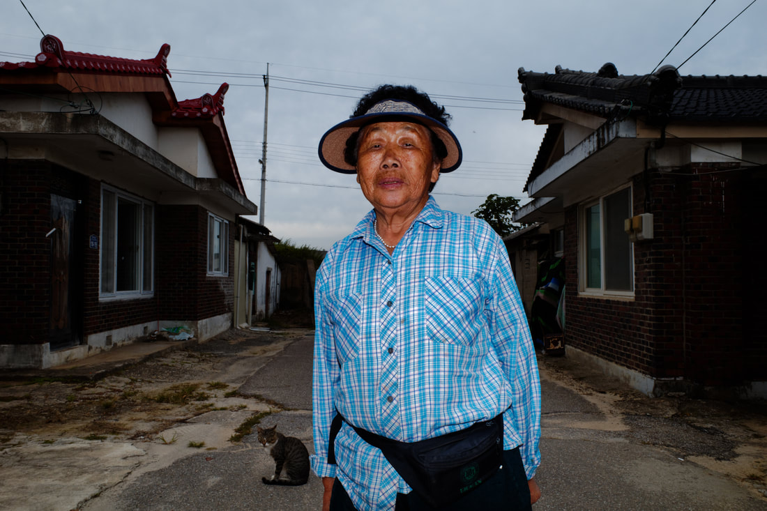
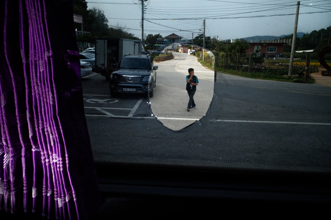
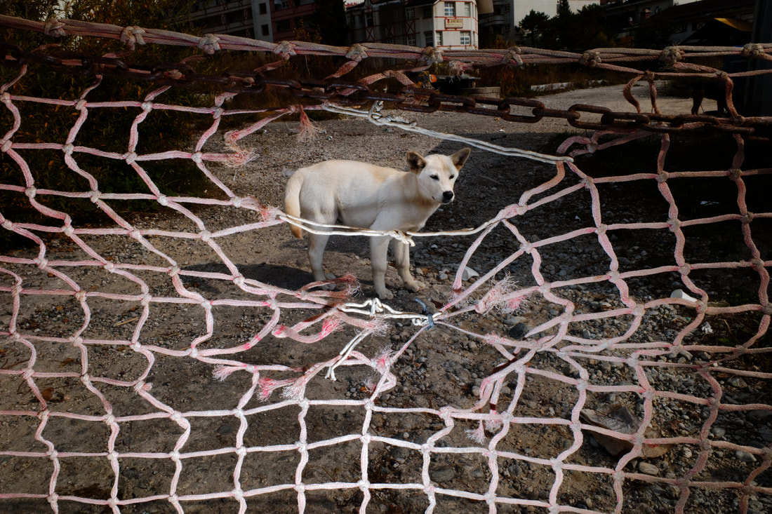
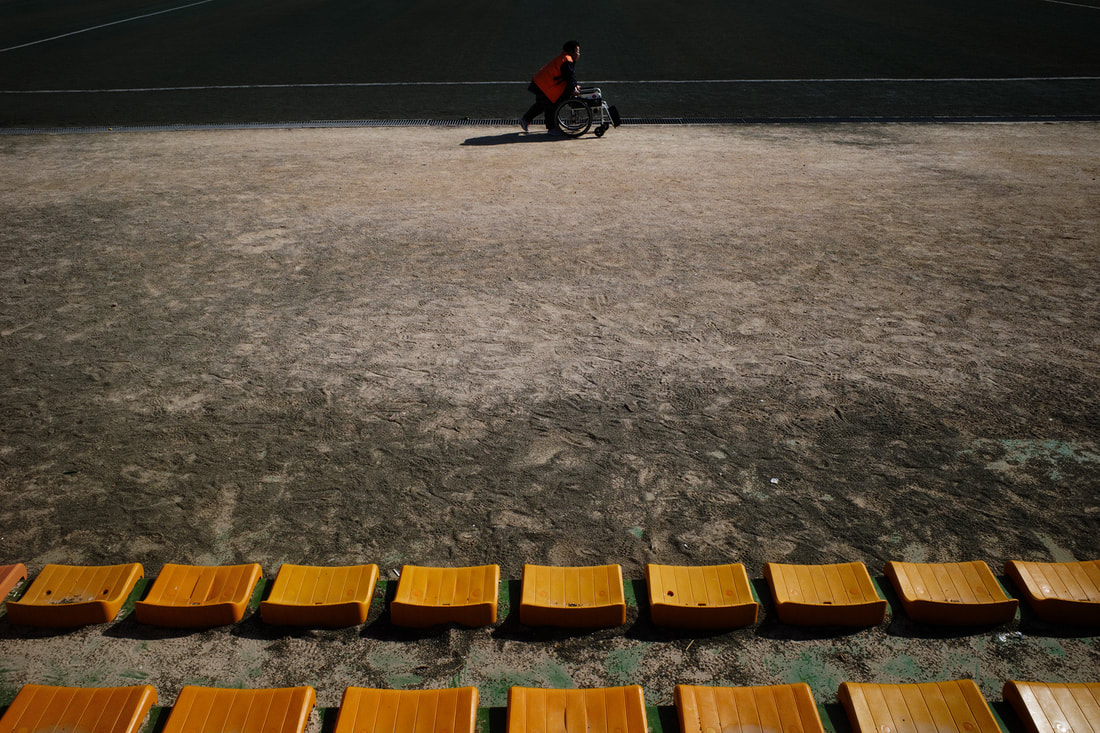
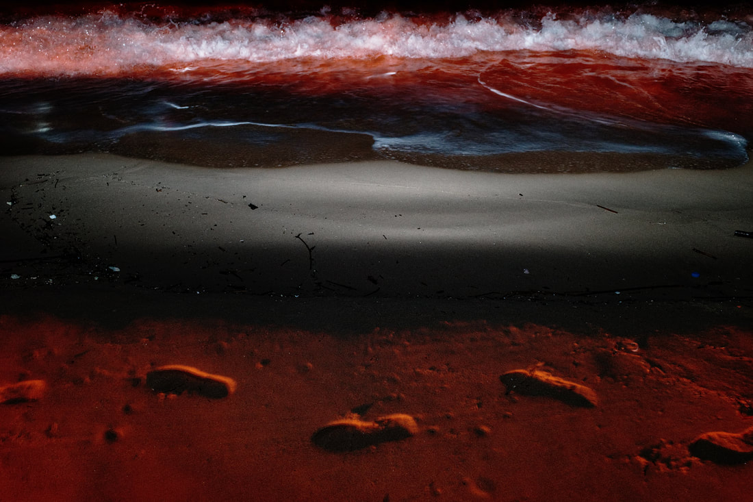
"How to Draw a Line" explores the border towns directly south of the DMZ. As a biracial Korean-American and as someone who has lived in one of these towns in the past, I felt a personal connection to this space caught between two worlds — where military camps, secluded villages, and tourist attractions all coexist while separating the North and South still officially at war.
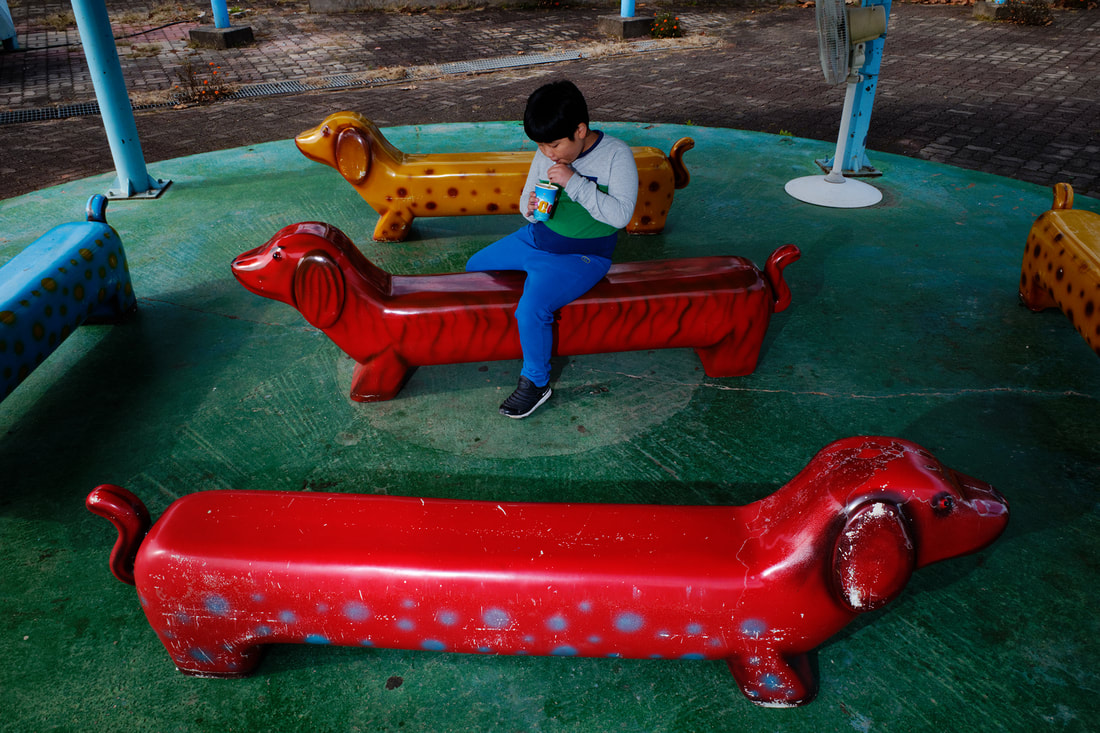
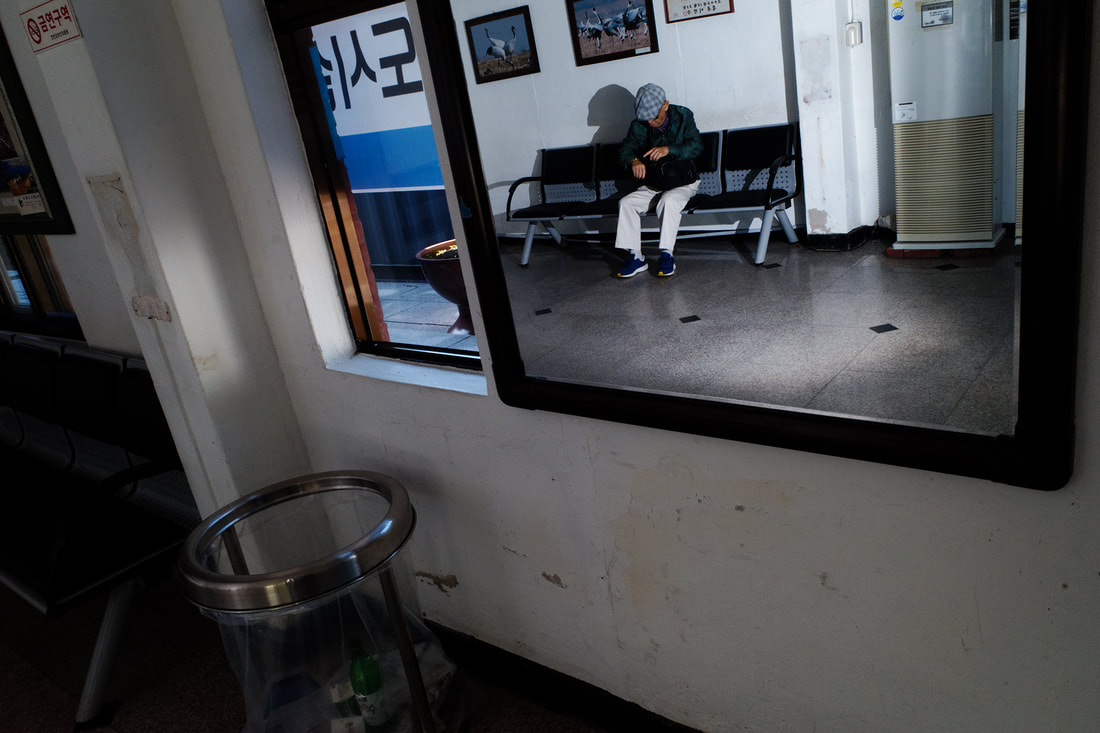
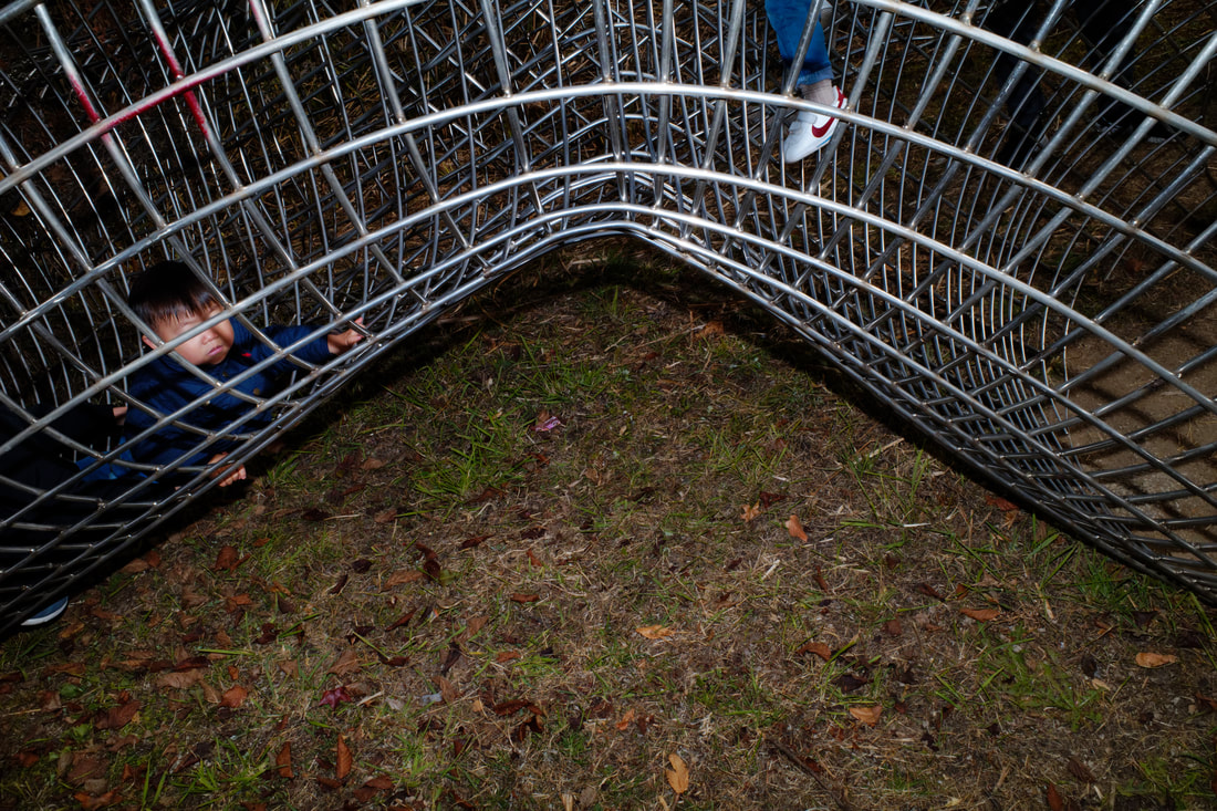
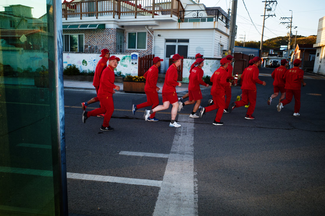
My memories guided and motivated me to revisit this area as I trekked multiple times between the northeast and northwest coasts of South Korea. While the routes can be drawn as literal lines on a map, the images draw a conceptual "photographic line" that traces the overall journey. Throughout these travels, I witnessed a liminal existence: subdued yet expressive, in spaces simultaneously active and still. The camera captures the subtle surreality of these isolated areas, offering an unexpected yet often overlooked view into Korean life. |
《선을 그리는 방법》은 비무장지대 바로 남쪽의 국경 마을들을 탐험합니다. 혼혈 한국계 미국인으로서, 그리고 과거에 이런 마을에서 산 적이 있는 사람으로서, 저는 여전히 전쟁 중인 남북을 갈라놓으면서 군부대, 외딴 마을, 그리고 관광지가 공존하는 두 세계 사이에 낀 이 공간에 대한 개인적인 유대감을 느낍니다.
제 기억들이 이 곳을 다시 방문하게 이끌고 동기를 부여해줬습니다. 저는 한국의 북동쪽 해안에서 북서쪽 해안까지 여러 번 여행했습니다. 경로는 말 그대로 지도에 선으로 그릴 수 있지만 이미지들은 전체 여정을 따라가는 개념적인 “사진의 선”을 그립니다. 이런 여정들 동안 저는 문턱에 걸려있는 존재를 목격했습니다: 동시에 활동적이고 고용한 공간에 있는 차분하면서 표현력이 넘치는 존재. 카메라는 이 고립된 지역의 미묘한 초현실성을 포착하여 한국인들의 삶 대한 예상치 못한, 그러나 종종 간과되는 시각을 제공합니다. |
|
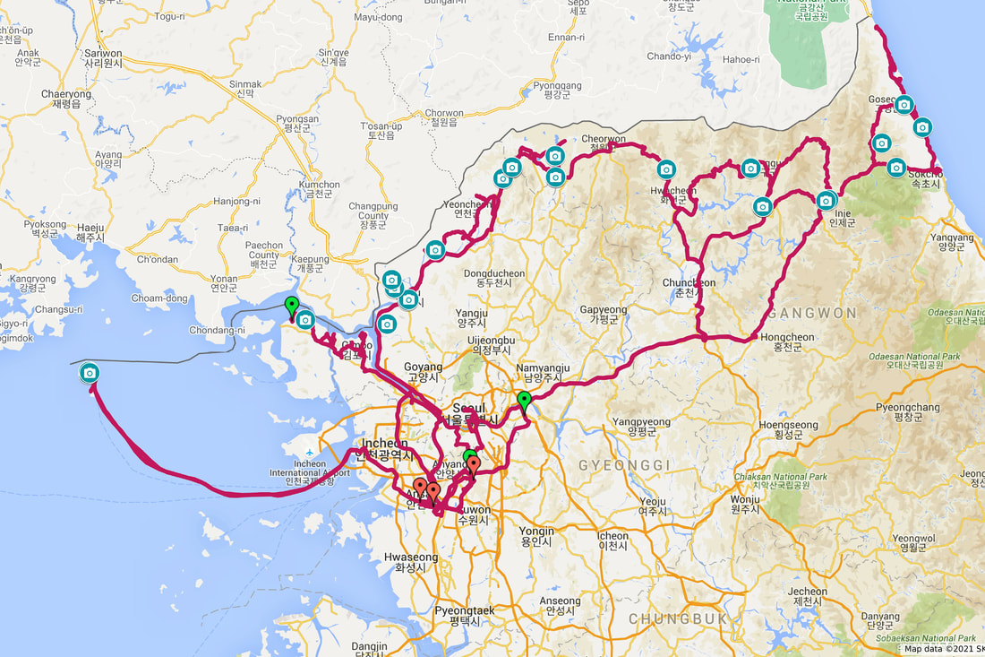
This map displays the GPS travel data collected thus far for "How to Draw a Line". Green pins represent different starting points and red pins are stopping points created by automobile travel. Pinned camera icons represent points or cluster areas where photographs were shot.
|
옆 지도는 현재까지 수집된 《선을 그리는 방법》의 GPS 데이터를 보여준다. 초록색 핀은 각 출발점들을 나타내고 빨간색 핀은 자동차 여행으로 만들어진 정지점을 나타낸다. 고정된 카메라 아이콘은 사진이 촬영된 지점, 또는 클러스터 지역을 나타낸다.
|

